Fichier:Map of Northwood-Oregon (Counties present).svg
Aller à la navigation
Aller à la recherche

Taille de cet aperçu PNG pour ce fichier SVG : 552 × 599 pixels. Autre résolution : 1 887 × 2 048 pixels.
Fichier d’origine (Fichier SVG, nominalement de 656 × 712 pixels, taille : 541 kio)
.svg)
Summary
| Description |
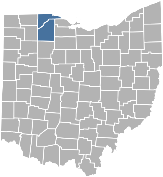
English: A map showing which Ohio counties the Kingdom of Northwood-Oregon is present in. | |||
|---|---|---|---|---|
| Source |
Own work by Carson Snyder. | |||
| Date |
14 February 2023 | |||
| Author | ||||
| Permission (Reusing this file) |
| |||
| Additional information |
Historique du fichier
Cliquer sur une date et heure pour voir le fichier tel qu'il était à ce moment-là.
| Date et heure | Vignette | Dimensions | Utilisateur | Commentaire | |
|---|---|---|---|---|---|
| actuel | 14 février 2023 à 15:53 | | 656 × 712 (541 kio) | Strubber | A map showing which Ohio counties the Kingdom of Northwood-Oregon is present in. Category:Northwood-Oregon files |
Utilisation du fichier
Aucune page n’utilise ce fichier.
.svg)